GIS mapping software is used by many organisations to view and manage location data.
For Severn Trent Services people – who look after thousands of water and wastewater assets across the UK – it’s one of many tools used to save time, save money, and add even more value to customers.
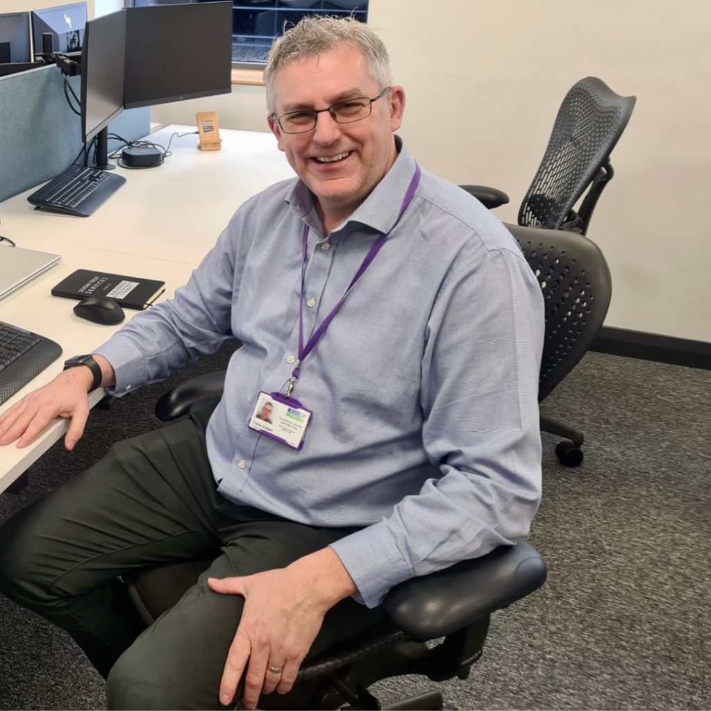
Chris Gilbert, Network Optimisation Manager at Severn Trent Services has been in the water industry for over 30 years.
He said:
“It’s amazing what a phenomenal job people have done with paper and spreadsheets. “But the world’s changed. And GIS mapping software is just one of several ways we use technology to do our jobs better.”


