GIS mapping software is used by many organisations to view and manage location data.
For Severn Trent Services people – who look after thousands of water and wastewater assets across the UK – it’s one of many tools used to save time, save money, and add even more value to customers.
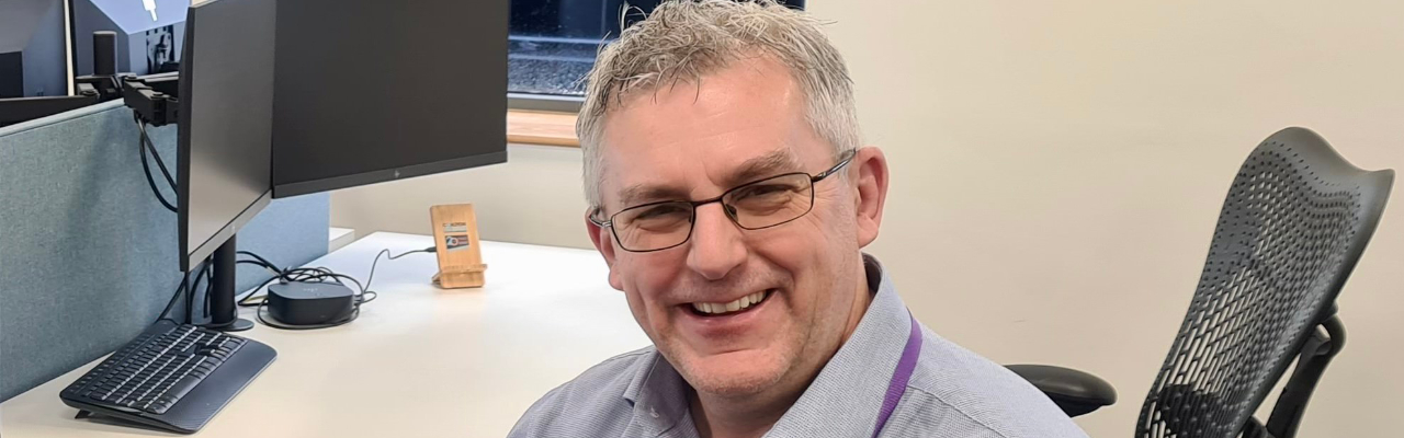
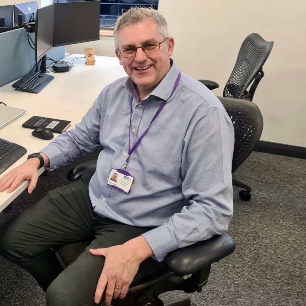
Chris Gilbert, Network Optimisation Manager at Severn Trent Services has been in the water industry for over 30 years.
He said:
“It’s amazing what a phenomenal job people have done with paper and spreadsheets. “But the world’s changed. And GIS mapping software is just one of several ways we use technology to do our jobs better.”
What is GIS?
GIS stands for Geographic Information System. It’s software that presents the user with geographical maps and lots of other data layered over the top.
It can be used to monitor and analyse changes over time, allowing teams to keep track of their progress and identify areas for improvement. Maria Dube, Senior GIS Technician at Severn Trent Services, explains: “Without getting too technical, the GIS mapping software allows us to look at a particular geographical area and gather lots of information about that area which can help us to do our job.
“For example, it tells us where assets like pipes, fire hydrants, meters, valves, manholes, and stopcocks are located. We can then see whether they’re operational or redundant. And what their condition or performance might be.
“Once we have this data at our fingertips, we can begin to spot trends and patterns which inform our decisions and actions. “There are so many current and future uses for it. From helping us to stop blockages and leaks, to reducing our customer’s water footprint.”
Examples of how GIS mapping software is making a difference
Severn Trent Services has used GIS mapping software to transform how they manage fire hydrants to make it easier to fulfil legal and contractual obligations.
Chris adds: “The Fire and Rescue Service rely on full access to fire hydrants, and these assets must be working properly otherwise, lives are at risk. Our job is to make sure the fire hydrants on our customer’s sites can expel the correct volume of litres of water per second.
“One way we do this is by regularly checking the flow rates of each fire hydrant we’re responsible for. That’s obviously a lot of fire hydrants to manage! And each time we do a routine check, we must log the flow rates and GIS mapping software helps us to do this.
“The old days of paper and spreadsheets are over. Don’t get me wrong, the old ways worked. But they were manually intensive, and we want our field teams to work smarter, not harder.”
Technology will continue to help put Severn Trent Services on the map
There’s been significant investment in technology to help manage water and wastewater assets more effectively and securely for customers.
Chris adds: “GIS mapping software is just one example of how we’re continually innovating through Cloud-first solutions to drive efficiencies and continuously improve our processes. “Our colleagues in Aqualytix – a water hygiene business – use ZetaSafe (a digital compliance logbook) and SampleTrack (a digital track and trace tool for water samples) to allow them to become a paperless business in the field. This has made a huge difference in the way they work too.”